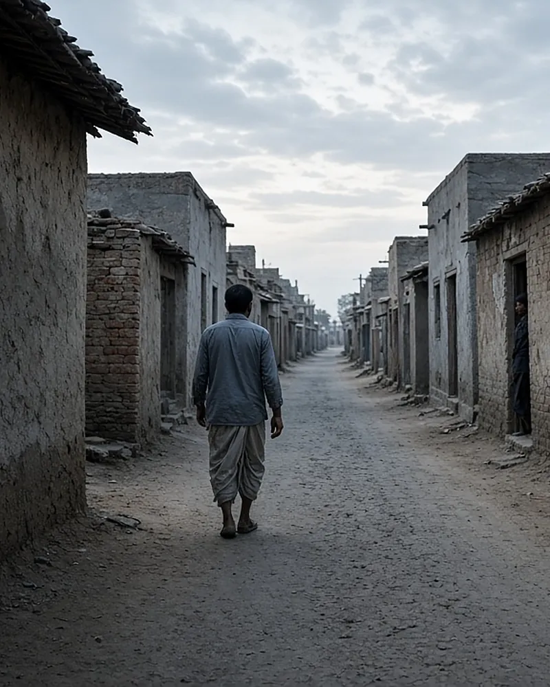
SVAMITVA stands for Survey of Villages Abadi and Mapping with Improvised Technology in Village Areas. It is a Central Sector Scheme of the Ministry of Panchayati Raj, meaning the Centre pays for it. It uses drones and a high-accuracy positioning network to map the inhabited part of every notified village. Each household owner then gets a legal record of their property, called a “record of rights”, printed as a property card.
The word svamitva means ownership. The scheme was launched by the Prime Minister on National Panchayati Raj Day, 24 April 2020. By 24 September 2026, it had surveyed 3.30 lakh villages and generated 3.31 crore property cards.
Why village homes had no records
Most Indian states keep detailed records for farmland: who owns each survey number, its area and its map. The inhabited core of the village is different. Known as the abadi, gaothan or lal dora depending on the region, it was usually left out of land surveys. The scheme guidelines note that the survey of rural land for settlement and record of rights was last completed many decades ago, and that the abadi areas of villages were not surveyed or mapped in most states.
Without a legal document, families living in these houses for generations could not easily prove ownership. Banks would not accept the property as security. Boundary quarrels between neighbours had no map to settle them, and Gram Panchayats could not assess property tax properly. SVAMITVA was designed to fill that gap at scale.
Aims of the scheme
The guidelines and the Ministry’s 2025 backgrounder list these aims:
- Give village household owners a record of rights, so they can use the property as a financial asset for loans and other benefits.
- Create accurate land records and GIS maps for rural planning.
- Help determine property tax, which goes to Gram Panchayats in states where it is devolved, and otherwise to the State.
- Create survey infrastructure and maps that any department can use.
- Support better Gram Panchayat Development Plans (GPDP) using the maps.
- Reduce property disputes by fixing boundaries clearly.
The survey also maps Gram Panchayat and community assets such as village roads, ponds, canals, open spaces, schools, Anganwadi centres and health sub-centres.
Who does what
| Body | Role |
|---|---|
| Ministry of Panchayati Raj | Nodal ministry; funds survey |
| Survey of India | Drones, CORS, maps |
| State Revenue Dept | Ownership enquiry; cards |
| State Panchayati Raj Dept | Gram Sabha, awareness |
| District Collector | Notifies area; final disputes |
| Gram Panchayat | Helps verify; tax register |
| NIC (GIS division) | Dashboard, Gram Manchitra |
The Ministry pays the Survey of India for the drone survey and map preparation. Ground truthing, preparing the cards and handing them out are done by the States and Union Territories. Each participating State signs a Memorandum of Understanding with the Survey of India, and 31 States and UTs had signed one by 11 March 2025.
Scheme components
The guidelines set out six components:
- CORS network. Continuously Operating Reference Stations give centimetre-level positioning in real time. This supports ground control points, geo-referencing, ground truthing and demarcation.
- Large-scale drone mapping. Survey-grade drones photograph the abadi at very high resolution, producing land parcel maps at 1:500 scale.
- Information, education and communication. Gram Sabhas, campaigns on national days, posters, puppet shows, information walls and local media explain the survey to villagers.
- Gram Manchitra. The Ministry’s spatial planning application uses the drone maps for village planning.
- Online monitoring. A national dashboard tracks progress state by state.
- Programme management. Programme Management Units at the national and state levels support the work.
Read about each survey stage on the drone survey process page.
Timeline 2020–2026
| Date | Milestone |
|---|---|
| 24 Apr 2020 | Launched; pilot in 9 states |
| 11 Oct 2020 | First cards: ~1 lakh owners |
| Feb 2021 | Nearly 3 lakh pilot cards given |
| 24 Apr 2021 | Nationwide roll-out |
| 18 Jan 2025 | 65 lakh cards in one day |
| Mar 2025 | Workshop for 22 countries |
| Apr 2025 | Extended to FY 2025-26 |
| 19 Mar 2026 | 2.65 crore cards distributed |
| 21 Jul 2026 | Extended till September 2026 |
| 4 Aug 2026 | 2.72 crore cards given |
| 24 Sep 2026 | 3.31 crore cards generated |
The nine pilot states were Haryana, Karnataka, Maharashtra, Madhya Pradesh, Uttarakhand, Uttar Pradesh, Punjab, Rajasthan and Andhra Pradesh. The 18 January 2025 distribution covered 10 states (Chhattisgarh, Gujarat, Himachal Pradesh, Madhya Pradesh, Maharashtra, Mizoram, Odisha, Punjab, Rajasthan and Uttar Pradesh) and 2 Union Territories (Jammu and Kashmir and Ladakh).
Sources: scheme guidelines (MoPR); PM India, October 2020; PIB backgrounder, 23 April 2025; PIB, figures as on 19 March 2026; PIB, 21 July 2026; PIB, 4 August 2026.
Extensions and milestones in 2025 and 2026
Budget and period. The Ministry’s April 2025 backgrounder puts the total cost at ₹566.23 crore for 2020-21 to 2024-25, with an extension until 2025-26. In a Lok Sabha reply on 21 July 2026, about Uttar Pradesh, the Ministry said the scheme had been extended till September 2026. In its reply of 4 August 2026, it said it was working to cover 3.38 lakh villages within the implementation period. The 2021-25 framework had first estimated around 6.62 lakh villages; the current target is the number of villages the States have actually notified for the survey.
Progress. Distribution has grown fast. The 2.42 crore cards counted in March 2025 became 2.65 crore distributed by March 2026 and about 2.72 crore distributed by early August 2026. By 24 September 2026, the Ministry reported 3.31 crore cards generated for 2.04 lakh villages, with the scheme complete in ten States and UTs. See the state-wise progress page for every state’s numbers.
Loans. By August 2026, banks had disbursed 11,147 loans worth ₹1,713 crore against property cards, most of them in Rajasthan and Madhya Pradesh. See loans on property cards.
After September 2026. No further extension had been announced on the Press Information Bureau by 12 November 2026. On 17 September 2026, at a card distribution event in Anand, Gujarat, the Union Minister said work on the second phase across the country was in its final stage. Ask your Gram Panchayat or tehsil about pending cards in your village.
SVAMITVA abroad: the 2025 international workshop
From 24 to 29 March 2025, the Ministry of Panchayati Raj and the Ministry of External Affairs held an International Workshop on Land Governance at the Haryana Institute of Public Administration in Gurugram, under the ITEC programme. More than 40 senior officials from 22 countries attended. The countries included Turkmenistan, Colombia, Zimbabwe, Fiji, Mali, Lesotho, Sierra Leone, Venezuela, Mongolia, Tanzania, Uzbekistan, Equatorial Guinea, Kiribati, São Tomé and Príncipe, Liberia, Ghana, Armenia, Honduras, Eswatini, Cambodia, Togo and Papua New Guinea.
The programme showed the SVAMITVA method in practice: drone flight planning in a nearby village, data processing, ground verification and the use of the CORS network. The government presents the scheme as a model other countries can learn from. Official releases describe the workshop and the interest it drew, but they do not report any other country adopting SVAMITVA as its own programme.
Sources: PIB, March 2025; PIB, workshop opening.
What SVAMITVA does not cover
- Farmland. Agricultural land is recorded under each State’s land-records system and the Digital India Land Records Modernization Programme of the Department of Land Resources.
- Towns and cities. Urban land is covered separately. The Department of Land Resources runs a pilot called NAKSHA that issues urban property cards.
- Individual applications. There is no form to fill. Villages are notified by the State.
Read more on Gram Manchitra, eGramSwaraj and ULPIN and on who gets a property card.
Frequently asked questions
What is the full form of SVAMITVA?
Survey of Villages Abadi and Mapping with Improvised Technology in Village Areas. Some official documents shorten it to Survey of Villages and Mapping with Improvised Technology in Village Areas.
When was SVAMITVA launched?
On 24 April 2020, National Panchayati Raj Day, as a pilot in nine states. It was rolled out across the country from 24 April 2021.
Which ministry runs SVAMITVA?
The Ministry of Panchayati Raj is the nodal ministry. The Survey of India is the technology partner, and State Revenue Departments issue the cards.
Has SVAMITVA been extended?
Yes, twice: first to 2025-26 and then, according to the Ministry’s Lok Sabha reply of 21 July 2026, till September 2026.
Is SVAMITVA a central or state scheme?
It is a Central Sector Scheme, funded by the Centre. The ownership enquiry and the property cards are handled by each State under its own revenue law.
How many villages does SVAMITVA cover?
The Ministry’s current target is 3.38 lakh villages. By 24 September 2026, drone surveys had been completed in 3.30 lakh of them.
See all questions on the SVAMITVA FAQ or go back to the overview.